Clinton Vessel Interaction Project
June 29, 2022
Project Background
The Situation
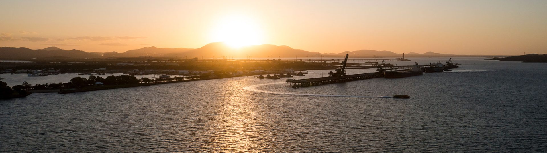
Wiggins Island Coal Terminal (WICT) was the first development to use Capesize vessels upstream of RG Tanna Coal Terminal (RGTCT) at the Port of Gladstone.
At the time, the only option for Capesize vessels leaving WICT was to navigate the flood tide through the Clinton Channel. The use of this route required vessels to pass within 80 metres of other vessels moored at the RGTCT wharf.
The passing of vessels in such close proximity caused the water to displace and resulted in vessel interaction. The force of the water was potentially strong enough to break mooring lines and, in extreme circumstances, cause a vessel to break away from its berth, resulting in vessel collisions.
This type of incident occurring could mean substantial expense through the recovery of the vessels and blockage of the channel. It could also create a major incident within the protected marine environment. A number of vessels had also been pulled away from their berths at RGTCT wharf.
The Solution
To address the situation, the Regional Harbour Master implemented an administrative (manual) control system and GPC actioned a series of temporary mitigation activities to reduce the potential impact and damage to RGTCT infrastructure.
However, these were not sustainable mitigation measures so GPC undertook the Clinton Vessel Interaction Project (CVIP) to provide a permanent solution.
Project Specifics
Environmental Approvals
Economic, environmental and social sustainability underpins everything we do. As such, GPC worked to ensure environmental monitoring was a significant component of the project and included:
- CVIP Environmental Management Plan
- CVIP Environmental Monitoring Procedure
- Fine sediment calculations and field measurements to validate calculations
- Fine Sediment Offset Plan
- Benthic Photosynthetic Active Radiation (light) monitoring
- Water quality monitoring.
The Port of Gladstone is a Priority Port Development area within the Great Barrier Reef World Heritage Area. The CVIP is consistent with the Reef 2050 Long-Term Sustainability Plan (Commonwealth of Australia 2015).
This project was a controlled action and received Federal Government approval under the Environment Protection and Biodiversity Conservation Act 1999 (EPBC Act) following a detailed assessment. This approval was received in July 2019 with State Government approval received in March 2019.
In addition to comprehensive environmental monitoring being performed by GPC staff, we engaged third-party environmental specialists to undertake the works and provide technical advice.
Monitoring
GPC undertook turbidity (water clarity) and light monitoring (BPAR) at a range of sites throughout Port Curtis to ensure comprehensive environmental monitoring during delivery of the project.
At these sites, we installed equipment linked to a telemetry system to allow us to closely monitor the readings and minimise any impact to the environment and sensitive receptors (such as seagrass) through a range of proactive measures.
Monitoring stations located throughout Port Curtis, from the Narrows to Rodds Bay, provided real-time data to a dedicated team of experts at GPC, as well as a third parties for additional technical support.
The team monitored conditions and modified dredging operations as required to ensure turbidity caused by dredging did not impact on light levels.
GPC’s monitoring concluded 28 October 2020.
It is important to note there were several factors that can have profound effects on turbidity and light parameters, such as tides, wind and rain, which caused them to exceed their respective limits.
When limits were exceeded, we proactively initiated investigations to determine the likely cause/s of elevations and worked closely with third-party experts and regulators.